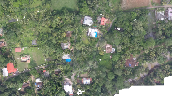
Drone based Land Use mapping at Niranam Grama Panchayath
GIS Mapping & Drone Technology
Drone based Land Use mapping at Niranam Grama Panchayath
Grameena Padana Kendram is an agency that carries out spatial planning for local development . For on ongoing project of local development using spatial as well as demographic survey the team proposed a drone mapping project as an addition to their existing survey projects. They proposed a requirement for the same,using high resolution drone imagery and allied products. Aerial survey using UAVs were introduced by ICFOSS at Niranam Grama Panchayath,Pathanamthitta was carried out for a total area of 180 acres. The POC was shared and proved successful in local planning and development.
- tags:
- Share This