Structural Mapping of GreenField Stadium
GIS Mapping & Drone Technology
Structural Mapping of GreenField Stadium
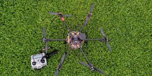
Autonomous structural mapping using drones can be used for monitoring works in construction, damage assessment etc.Large complex structures can also be easily mapped using photogrammetry techniques. A low cost methodology for 3D mapping of structures was defined by ICFOSS for such assessments. A complete 3D model of Greenfield International Stadium was generated with inhouse hardware and software.
- tags:
- Share This