Topographical Mapping and volumetric Analysis
GIS Mapping & Drone Technology
Topographical Mapping and volumetric Analysis
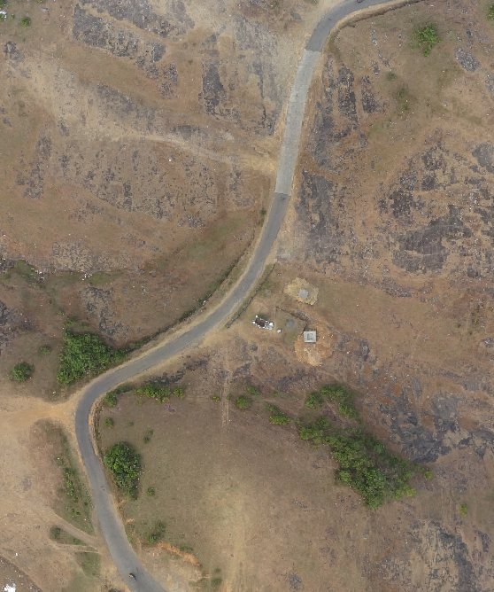
The pilot project done by ICFOSS was the topographical mapping at Vagamon Hills, Idukki. The data acquired was further processed for the study on High Accuracy Topographic Modelling via UAV-based Images. 3Dmodels of the area was generated and further analysis of grid based cut-and-fill volume calculation was done using the data .
- tags:
- Share This