Open Street Maps
GIS Mapping & Drone Technology
Mapathon Initiatives
A mapathon is a coordinated mapping event. The public is invited to make online map improvements in their local area to improve coverage and to help disaster risk assessment and energy management. Mapathons use an online site for storing map data, for example, OpenStreetMap (OSM). A mapathon is organized by a respective organization or a non-profit organisation or local government. Organizing mapathons is a fantastic way to build a community of mappers all focusing on the same area of the world. It is also a great learning environment, where new mappers can learn from the experiences of others.
ICFOSS is contributing to Open Street Maps as per the requirement from Government of Kerala for its Mapathon Initiatives. The project is a part of creating extensive local maps of Kerala including physical infrastructure natural resources and other information that are useful for planning and other developments.
Gitlab Repository
Express Interest
ICFOSS is contributing to Open Street Maps as per the requirement from Government of Kerala for its Mapathon Initiatives. The project is a part of creating extensive local maps of Kerala including physical infrastructure natural resources and other information that are useful for planning and other developments.
- tags:
- Share This
Project Updates
Related Projects
Automate & Simplify The Whole Process
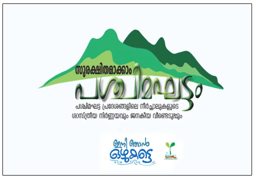
STREAM MAPPING - ഇനി ഞാൻ ഒഴുകട്ടെ
<p><span style="font-family: Roboto, -apple-system, "apple color emoji", BlinkMacSystemFont, "Segoe UI", Roboto, Oxygen-Sans, Ubuntu, Cantarell, "Helvetica Neue", sans-serif; font-size: 16px; white-space-collapse: preserve;">ICFOSS provided technical support for the project titled “Ini Njan Ozhukkate” by Nava Keralam Mission on Stream Mapping to conserve Western Ghats.Stream mapping was intended to map the small streams originating from the highlands of Kerala. As these highlands are vulnerable to many natural hazards in recent years due to climate change, it is important to maintain the natural flow of streams. This project covering 249 highland panchayats in the state Kerala. Through this project we were able to contribute in OpenStreetMap with the current stream network.</span><br></p><p><br></p><p><iframe frameborder="0" src="//www.youtube.com/embed/hidFhCjW7pc" width="640" height="360" class="note-video-clip"></iframe><span style="font-family: Roboto, -apple-system, "apple color emoji", BlinkMacSystemFont, "Segoe UI", Roboto, Oxygen-Sans, Ubuntu, Cantarell, "Helvetica Neue", sans-serif; font-size: 16px; white-space-collapse: preserve;"><br></span></p>
Read more