OpenSDI
GIS Mapping & Drone Technology
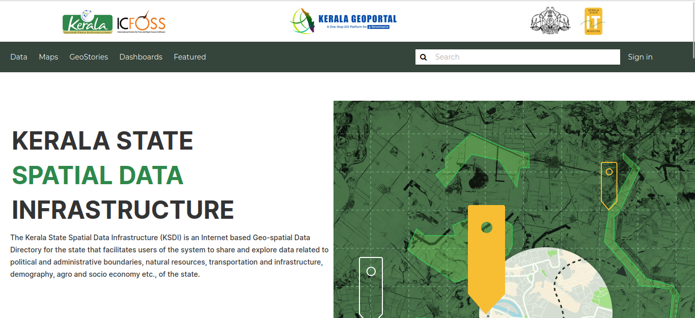
Explore the diverse landscapes and rich cultural heritage of Kerala through the Kerala Geroportal, a collaborative initiative driven by OpenSDI research at ICFOSS (International Centre for Free and Open Source Software) and powered by the versatile GeoNode platform. This interactive platform hosts a wealth of datasets and maps meticulously prepared by various departments of the Kerala government. These datasets encompass crucial information such as road networks, stream networks, administrative boundaries, and much more. Importantly, these datasets are freely accessible to the public, promoting transparency and knowledge sharing. Whether you're a researcher, student, policy-maker, or an inquisitive traveler, this comprehensive resource is at your fingertips, ready to enrich your understanding of Kerala's geography and culture.
OpenSDI can be considered as an open-source replacement for the proprietary tool used by KSDI, offering a more accessible and customizable solution. Geoportal features ERDAS® APOLLO, which provides comprehensive data management and delivery. This includes organizing geospatial and business data into a centralized library, and distributing that data from the cloud.
OpenSDI, being a highly flexible Spatial Data Repository platform based on 'geonode,' is a web-based application for developing Geospatial Information Systems and for deploying Spatial Data Infrastructure. Geonode is currently being used by different organizations around the world, showcasing its robustness and reliability. Being distributed under a free software license, KSDI can enjoy the full benefits of ownership, ensuring long-term sustainability and adaptability to evolving needs.
- tags: Gis&DroneMapping
- Share This