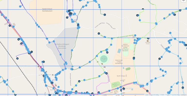
Corridor Mapping at Kariavattom-Thrippadapuram Road

Corridor Mapping at Kariavattom-Thrippadapuram Road
Corridor Mapping at Kariavattom-Thrippadapuram Road
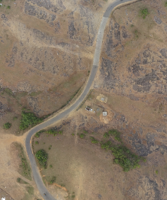
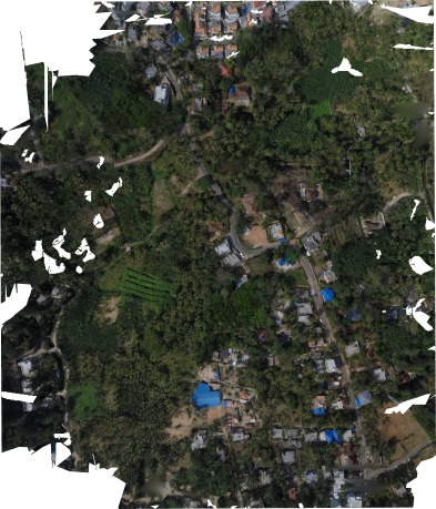
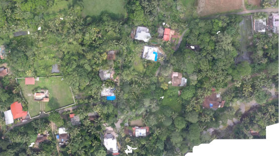
As part of the POC for the Rebuild Kerala initiative ICFOSS mapped 1km stretch at Thrippadapuram Rd. The objective of the project was to study road conditions and damages in the state after the disaster. The project was crucial in terms of rebuilding infrastructure and assessment of flood damage. Using the high resolution imagery obtained using drone mapping, the infrastructure was mapped.
Express Interest


